

3-Pass Loop - Stage 5 - Goléon Mountain Hut / Valloire - Bonnenuit
Medium
5h30min
11km
+401m
-1159m

1 / 17
Description
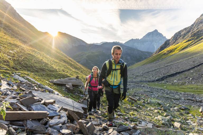
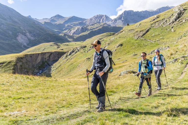
This stage will take you back to the starting point in Valloire. Along the way, be sure to enjoy the calls of the marmots and the sight of birds of prey and vultures soaring overhead—all set against a majestic landscape.
A wild and spectacular stage, set amid high-mountain scenery. From the peaceful waters of Lake Goléon, the trail gradually climbs toward the Goléon Pass, at an elevation of nearly 2,900 meters, offering superb views of the surrounding peaks.
After crossing the pass, the atmosphere changes: the hike plunges into the vast, rocky Goléon valley before gradually returning to the alpine pastures and the torrent. The long descent then leads to the Valloirette Valley and the hamlet of Bonnenuit, just outside Valloire.
A demanding and distinctly alpine stage, featuring a high-altitude lake, a rocky pass, torrents, and wide-open spaces, this is one of the most memorable sections of the Tour des Aiguilles d’Arves.
Difficult sections
The climb up to Goléon is steep and unmarked at the beginning; this section can be tricky in rain or fog.
1 herd with a guard dog.
Marking
Yellow paint, iron stakes for high-altitude alpine pastures, yellow markers on the Tour du Pays des Aiguilles d'Arves.
Map references
The IGN map 3435ET VALLOIRE – Aiguilles d’Arves / Col du Galibier is available for purchase in stores in Valloire, as is the Tour des Aiguilles d'Arves map
Amenities
Itinerary

