Saint-Michel-de-Maurienne Town Hall

1 / 4
Description
Mayor: Gaëtan MANCUSO
At the foot of the great Alpine passes
St Michel de Maurienne is at the center of the valley, with its crossroads to the south via Valloire and the Galibier, and to the north via the Col des Encombres.
This roadless passage was popular as long as people walked, and contributed to the success of fairs and markets.
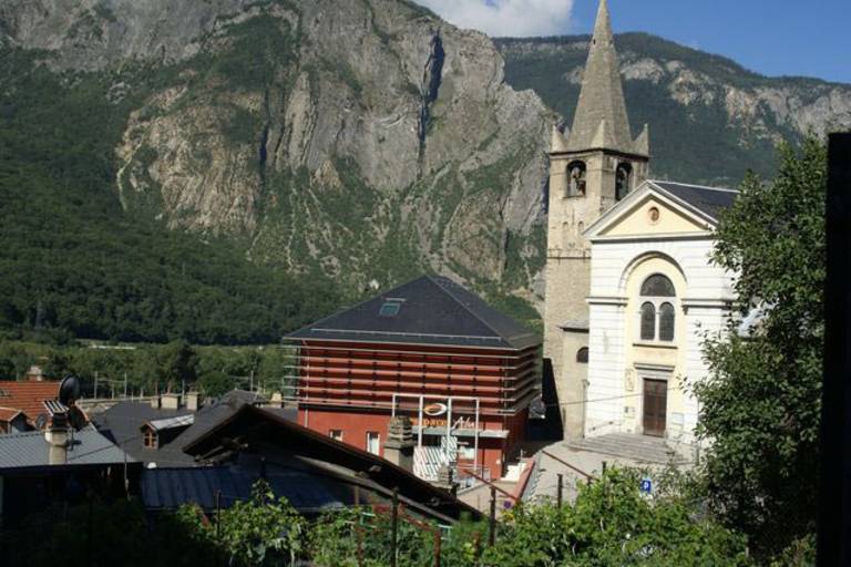
The administrative center of the canton, St Michel boasts a number of remarkable viewpoints (from L'Etraz towards St Michel, the Beau-Mollard panoramic viewpoint, Col de Vallée étroite). St Michel has many hamlets, including Beaune and Le Thyl, which were independent communes until 1972. The commune has managed to preserve the mountain pastures that stretch out at the foot of Mont Brequin, thanks to the abandonment of a ski resort covering almost two thousand hectares that was to be linked to the Val-Thorens ski area.
Zoom
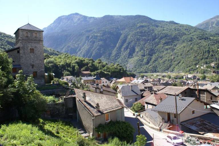
The old town From the town hall, it's a pleasant walk along the narrow, winding Rue St. Marcellin through the center of old St. Michel. In days gone by, gates guarded access to the town, which was protected by ramparts. Heading up towards the church, you'll find a path leading to the Tour Carrée, the last vestige of a fortified house.
In brief :
Maurienne Galibier
Maurienne Galibier Community of Communes
Surface area: 3631 ha
Population: 2978
Altitude: 690 m to 3130 m.
Village: Les Saints Michelins
Distance from main town : Chef lieu de canton
BP 10, 73140, Saint-Michel-de-Maurienne
Town hall opening hours
Monday to Friday
8am to 12pm and 1:30pm to 5pm
except Tuesday afternoon and Thursday morning
open on the 1st and 3rd Saturday of the month from 8.30am to 12pm