The archaeological trail of Thyl

Medium
2h45min
5.8km
Loop
+470m
-470m
The archaeological trail of Thyl image1The archaeological trail of Thyl image2The archaeological trail of Thyl image3The archaeological trail of Thyl image4
1 / 4

Description

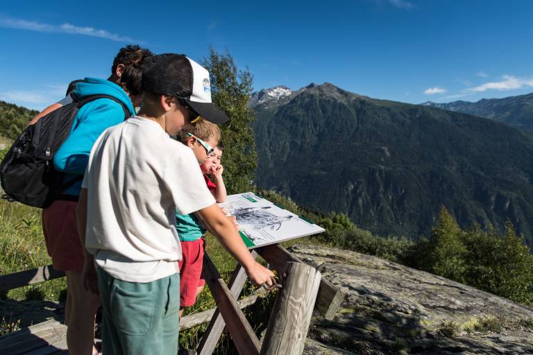
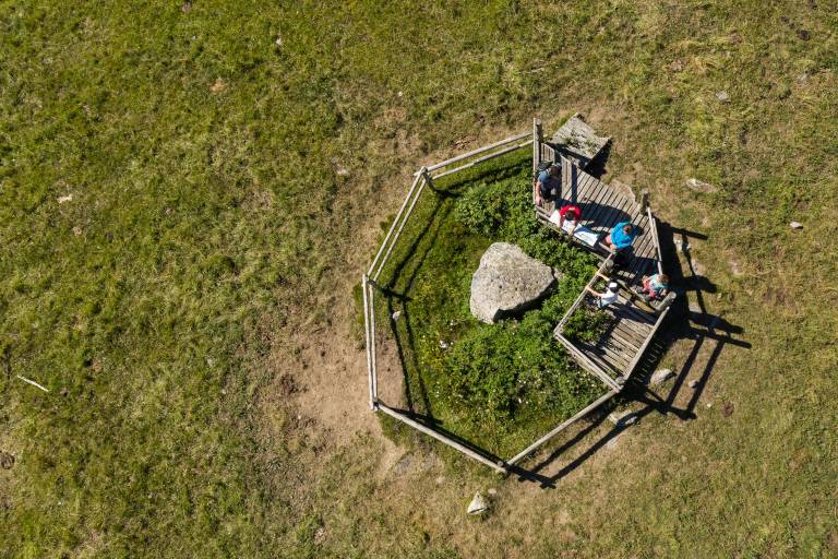
This trail takes you back in time to discover cupules, engravings, dolmens, etc.

On the Thyl archaeological trail, you'll see many rock carving sites, with a wide variety of abstract and figurative iconography.

Guided steps

From Le Thyl-parking, head towards the hamlet and cross it.
Take the path to the right of the church. At the next crossroads, follow the signs for the Dolmen. A round trip takes you to the Dolmen. Continue along the track towards Bois Dessus.
From here, turn left up the path towards Pierres à Cupules.
At the La Fromentière crossroads, turn left onto the track and follow it for about 1 km. At Routes d'en Haut, turn right onto the path leading up to Pierres à Cupules.
At the next crossroads, La Raverette, turn right to reach Les Pierres à Cupules.

Return by the same route to Routes d'en Haut. From this intersection, take the path down towards Le Thyl. The path crosses the gravel path four times.
At the fourth intersection, at the level of Pierre Pointe, head towards Le Thyl to reach the parking lot.

Download GPX file
Address
73140, Saint-Michel-de-Maurienne
Opening
All year round. Subject to favorable snow and weather conditions.

Was this content helpful to you?