
Saint Michel, La Buffaz & L'étraz - Hiking itinerary


Description
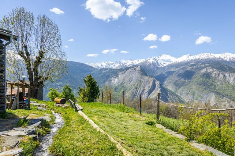
Along the way, you'll discover the hamlet of La Buffaz, as well as a beautiful view of the Fort du Télégraphe and the Aiguilles d'Arves.
This tour is a pleasant loop that combines open landscapes and rural heritage. Climbing up the adret side of the Arc valley, the route offers beautiful panoramic views of the Aiguilles d'Arves and the surrounding relief, alternating between forests, meadows and balcony paths. Passing through the hamlets of La Buffaz, you'll discover a typical heritage, with chapels and traditional houses that bear witness to alpine life in days gone by. This is a panoramic and authentic hike, ideal for appreciating the history and landscapes of the Maurienne.
Marking
Map references
Topo-Guide and carto-guide available from the Maurienne Galibier tourist office.