Saint Michel - La Buffaz - L'étraz
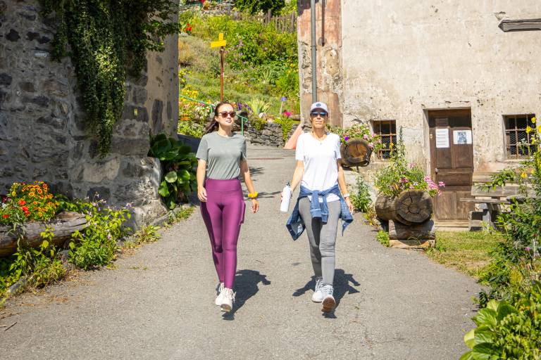
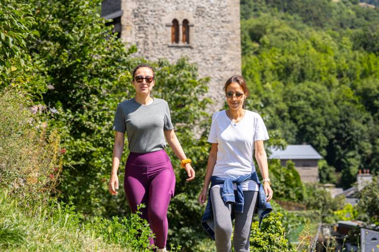

Description
Along the way, you'll discover the hamlet of La Buffaz, as well as a beautiful view of the Fort du Télégraphe and the Aiguilles d'Arves.
Start: Saint-Michel-de-Maurienne town hall
Route: Leave Saint-Michel-de-Maurienne (Mairie) and join Rue Beauregard. From here, continue on the road, then take the path on the right towards Le Noiray, passing through Sous Le Noiray. Turn right towards La Buffaz. Once on the road, continue for about 400 m to a cross at Crêt Lazare. From here, keep left on the road to the hamlet of La Buffaz. In the hamlet, climb up the narrow streets. At the end of the hamlet, follow the path to the left. Continue until you reach a road. Turn right, then left at the crossroads. Follow the road to Cote Ribout. From here, take the path down to l'Etraz. Cross the hamlet until you reach the road and take the path leading to Sous le Noiray. From here, follow the same route as before to get back to the starting point.