Roche Olvéra - Hiking trail

Medium
1h30min
2.8km
Round trip
+350m
-350m
Roche Olvéra - Hiking trail image1

Description

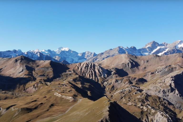
This hike takes you to some excellent lookout points and mountain pastures.

To activate geolocation, click on the map icon.

Marking

Map references

Map of Valloire hiking and mountain biking trails, on sale at the tourist office.

IGN map 3435ET VALLOIRE - Aiguilles d'Arves / Col du Galibier is on sale in Valloire shops.

Amenities

Guided steps

Departure point: les granges du Galibier.
1/ cross the road once to join the path leading up to the summit.
2/ cross the road again to continue your ascent. The path to the summit is almost non-existent, so follow the grassy slope.
3/ At the summit, enjoy the majestic view and turn around.

Address
Colomban Noir, Route du Galibier, 73450, Valloire
Opening
From 01/06 to 31/10 daily.

Was this content helpful to you?

Address
Colomban Noir, Route du Galibier, 73450, Valloire
Opening
From 01/06 to 31/10 daily.