Poingt Ravier - Hiking itinerary

Easy
3h
10.1km
Round trip
+350m
-360m
Poingt Ravier - Hiking itinerary image1Poingt Ravier - Hiking itinerary image2Poingt Ravier - Hiking itinerary image3Poingt Ravier - Hiking itinerary image4
1 / 4

Description

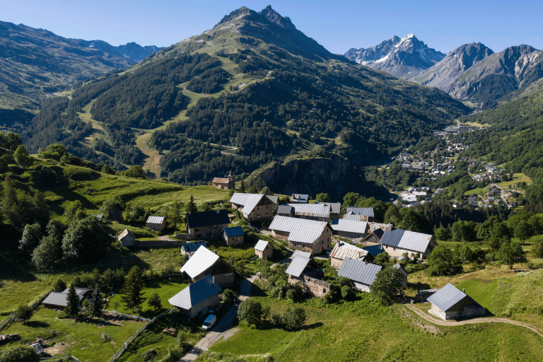
This walk is mostly on minor roads. The view from the chapel in the hamlet of Poingt Ravier is magnificent.

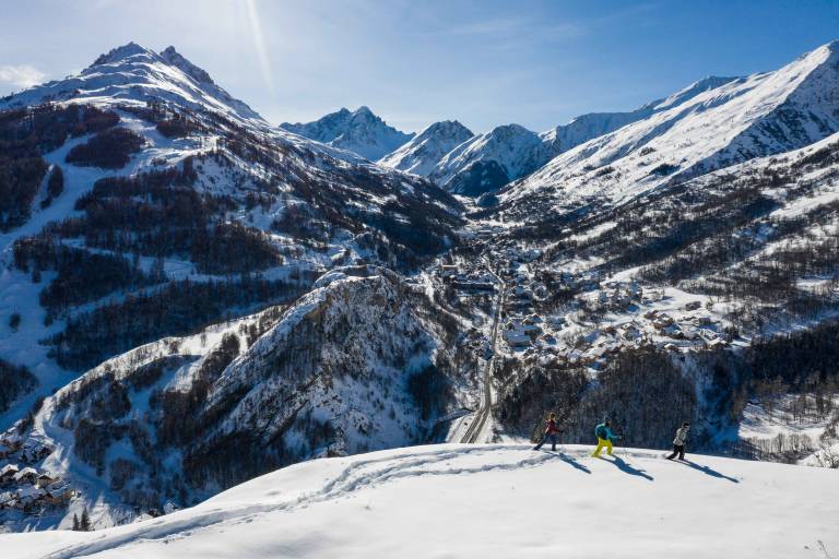
In winter, risk of avalanche in this area from level 3/5 this route is not recommended.

Guided steps

Departure point: parking de la Borgé
1/ Cross the road to reach the street on the left of the chapel at the corner.
2/ Walk up this street until you reach the path.
3/ Continue up this path until you reach the hamlet of Poingt Ravier.
4/ You can finish the climb towards the chapel on the right of the hamlet.
5/To go back down* take the Poingt Ravier road and head back down towards the hamlet of Le Mollard.
6/ At the intersection, turn right and head back towards Valloire.
7/ At the Saint Thècle campsite, turn right into Rue de la Bonne Eau.
8/ At the top of the street, cross the road to reach the Borgé parking lot.
*You can also go down the same way you came up.

Download GPX file
Address
Office de tourisme de Valloire, 73450, Valloire
Opening
All year round daily. Subject to favorable weather.

Was this content helpful to you?