La Sapinière (22) - Downhill MTB track

Hard
45 minutes
9.4km
-910m
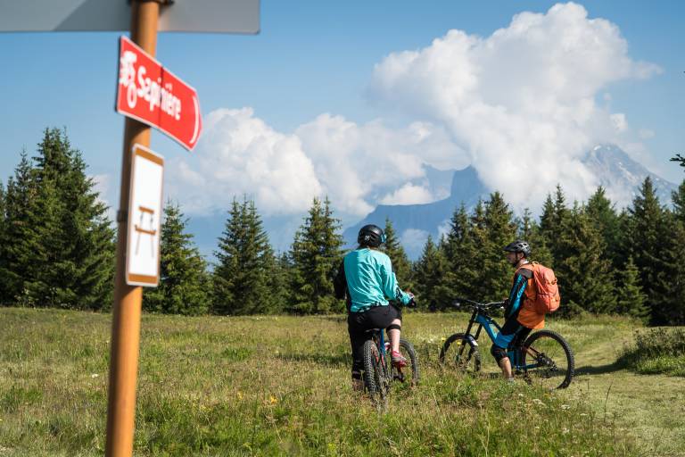
La Sapinière (22) - Downhill MTB track image1

Description

Discover this beautiful route that will take you to the chapel of the three crosses through the national forest. Return via different hamlets of Valloire.

To activate geolocation, click on the map icon.

Marking

Map references

The summer map of pedestrian, downhill mountain bike and VTTAE routes is available free of charge from the tourist office and lift ticket offices.

IGN map 3435ET VALLOIRE - Aiguilles d'Arves / Col du Galibier is on sale in Valloire shops.

Amenities

Guided steps

Departure point: top of the Lac de la vieille chairlift. 1 - Walk around the lake to find the downhill slopes (recommended route: the family trail). 2 - Follow the signposted path to the Chapelle des Trois Croix. You'll pass through the national forest. 3 - Once you've reached the Chapelle des Trois Croix, follow the signs for the signposted path to the hamlet of Le Col. 4 - You'll pass through the hamlets of Les Granges and Les Choseaux-Ville before returning to the center of Valloire.

Address
Télésiège du Lac de la Vieille, 73450, Valloire
Opening
From 05/07 to 30/08 daily between 10 am and 4.30 pm. Subject to favorable weather.

Was this content helpful to you?

Address
Télésiège du Lac de la Vieille, 73450, Valloire
Opening
From 05/07 to 30/08 daily between 10 am and 4.30 pm. Subject to favorable weather.