
La Familiale (20) - Downhill MTB track
Description
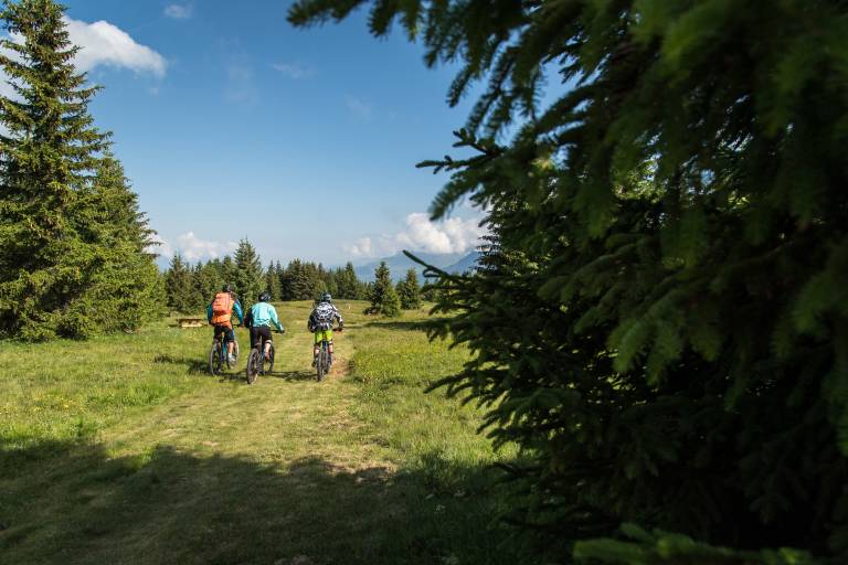
A varied route with banked turns, freeride zones and a large section of fun trail winding through the fir and larch forest. Picnic tables available at the halfway point, in a large clearing.
To activate geolocation, click on the map icon.
Please note that this trail is accessible to all, provided you have a good level of cycling experience and some basic riding skills. If you're an occasional rider or a beginner, as with the other trails, we recommend that you seek professional guidance to learn and enjoy all the pleasures of downhill mountain biking.
Marking
Map references
The summer map of pedestrian, downhill mountain bike and VTTAE routes is available free of charge from the tourist office and lift ticket offices.
IGN map 3435ET VALLOIRE - Aiguilles d'Arves / Col du Galibier is on sale in Valloire shops.