Chalets du Vallon loop - 2 or 3-day walking itinerary

Hard
72h
22.9km
Loop
+1451m
-1451m
Chalets du Vallon loop - 2 or 3-day walking itinerary image1Chalets du Vallon loop - 2 or 3-day walking itinerary image2Chalets du Vallon loop - 2 or 3-day walking itinerary image3Chalets du Vallon loop - 2 or 3-day walking itinerary image4Chalets du Vallon loop - 2 or 3-day walking itinerary image5Chalets du Vallon loop - 2 or 3-day walking itinerary image6Chalets du Vallon loop - 2 or 3-day walking itinerary image7Chalets du Vallon loop - 2 or 3-day walking itinerary image8Chalets du Vallon loop - 2 or 3-day walking itinerary image9Chalets du Vallon loop - 2 or 3-day walking itinerary image10Chalets du Vallon loop - 2 or 3-day walking itinerary image11Chalets du Vallon loop - 2 or 3-day walking itinerary image12
1 / 12

Description

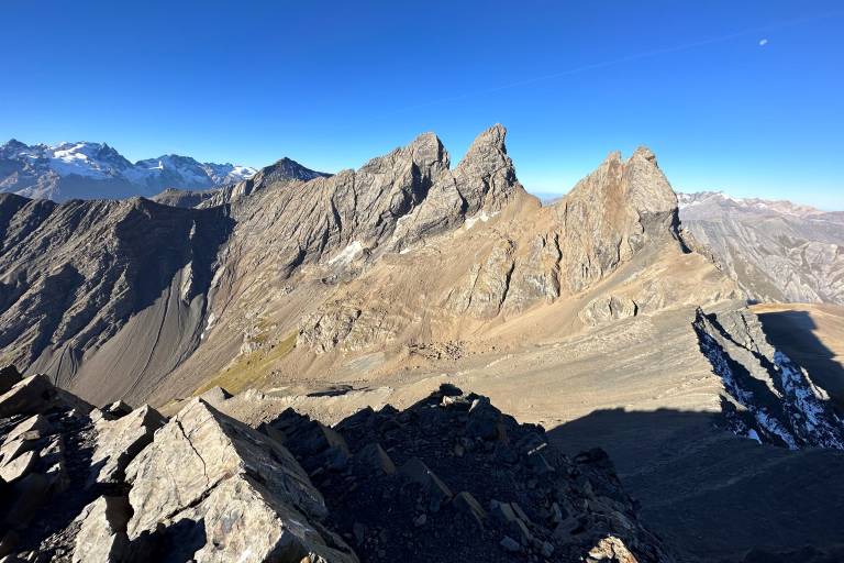
The Vallon loop offers a multi-day itinerary up to the Col de l'Épaisseur, via the Aiguilles d'Arves refuge.

Stage 1: Les Choseaux -> Verneys -> Refuge des Aiguilles d'Arves
Stage 2 (optional): Refuge des Aiguilles d'Arves -> Col de l'Epaisseur -> Refuge des Aiguilles d'Arves
Stage 3: Refuge des Aiguilles d'Arves -> Les Choseaux -> Verneys

Difficult sections

Vertiginous passage at the "Mauvais pas", just before arriving at the refuge

Marking

Map references

IGN map 3435ET VALLOIRE - Aiguilles d'Arves / Col du Galibier is on sale in Valloire shops.

Amenities

Guided steps

Stage 1: Departure from Les Verneys, arrival at Refuge des Aiguilles d'Arves: 7.7 Km, 763 m D+, 84 m D-. Lodging at Refuge des Aiguilles d'Arves.
Step by step :
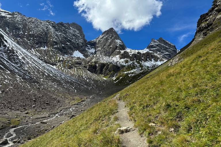
From Les Verneys, take the road to the left of the bakery, then turn left into the Chemin de Pessail. Pass the last houses and take the path at the end of the parking lot. Follow the path until you reach a track, turn right and follow it up 2 hairpins. Then turn left to cross the hairpin bends on a narrow path to the hamlet of Vallon. Continue straight ahead on the balcony path to Commandrault. From here, turn slightly right, cross a stream then a footbridge and climb the last slope via the Mauvais Pas to reach the refuge.

Stage 2 (optional): Refuge des Aiguilles d'Arves - Col de l'Epaisseur - Refuge des Aiguilles d'Arves: 8.4 Km, 683 m D+/D- 683 m. Lodging at the Refuge des Aiguilles d'Arves.
Step by step:
Climb above the refuge on an alpine path to the Sous l'aiguille de l'Epaisseur post. Turn right, cross an area of large boulders and join the combe du Puy. Follow the cairns up the bottom of the combe to the Col de l'Epaisseur. Return to the refuge by the same route.

Stage 3: Departure from Refuge des Aiguilles d'Arves, Les Choseaux - Verneys: 6.8 km / D+ 0 m / D- 680 m
Step by step:
Descend from the refuge to Commandrault, then turn right on an alpine path that descends to the Les Aiguilles post just above the Aiguilles chalets. Turn left to descend first into the alpine pasture and then into the forest to La Rivine via La Roche Bernard. At La Rivine, turn right to cross the Valoirette and the main road. Take the track opposite along the right bank of the Valoirette as far as a footbridge. Cross the footbridge to return to the start parking lot.

Along the way

Address
Place du Four, Hameau des Verneys, 73450, Valloire
Opening
From 01/06 to 15/09 daily. Subject to favorable weather.

Was this content helpful to you?

Address
Place du Four, Hameau des Verneys, 73450, Valloire
Opening
From 01/06 to 15/09 daily. Subject to favorable weather.