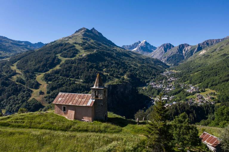
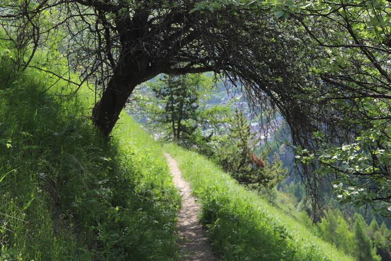
A short, easy loop that allows you to discover Valloire while gaining a little altitude, and enjoy lovely views of the Poingt-Ravier and Saint-Pierre chapel.
The trail is marked with yellow directional signs.
Map of Valloire hiking and mountain biking trails, on sale at the tourist office.
IGN map 3435ET VALLOIRE - Aiguilles d'Arves / Col du Galibier is on sale in Valloire shops.
Departure: Valloire Tourist Office.
1/ Take the rue des écoles on your left as you leave the Office and head towards the campsite.
2/ Before crossing the bridge, turn left and follow the path along the river.
3/ Continue up towards La Borgé and take the "Chemin des Voûtes".
4/ Follow this path for about 1.5 kilometers to reach the hamlet of Poingt-Ravier. Before reaching the village center, turn left onto a path running alongside a meadow.
6/ Return to the Route du Galibier via a hairpin single overlooking the Gorges de l'Enfer.
7/ Before you reach the Pont de l'Enfer, turn left and continue downhill until you reach La Borgé again.
8/ Turn right at the junction with the Route du Galibier and follow the fitness trail almost as far as Le Verneys, then turn 180° onto a path that leads to Geneuil.
9/ This path leads down to a large track, on which you turn left in the direction of Chapelle St-Pierre. Continue to climb above the chapel before descending towards Carrefour Montagne.
10/ Go back down the Avenue de la Vallée d'or, turn left and return to the Tourist Office.